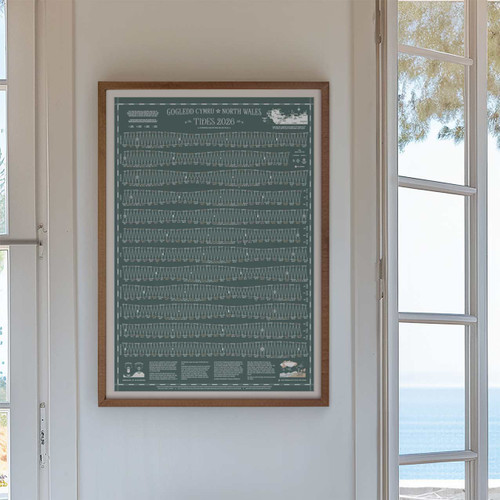
*2026 Now Available*
Perfect for those who love the sea.
2026 is for the sea lovers and the weather watchers, the cloud spotters, the storm chasers.
Unique tide times hydrographical charts for the North Wales coastline.
A full year of tide times and heights with a wealth of local tidal, moon and ocean information and in 2026 a guide to coastal weather. Life by the sea is shaped by weather conditions that are ever changing, the more we read the skies, the better we know the water.
Available in classic Nautical Blue and new limited edition Grey-Green.
Which area does the chart cover?
This chart can be used for all locations along the mainland North Wales coast and the north coast of Anglesey. Tide Times and heights are based on Llandudno, times and Heights for most of the North Wales coastline are the same.
For the North West coast of Anglesey and Holyhead, times follow all of the same tidal patterns with the following adjustments: Deduct 20 minutes from high times and 40 minutes from low times.
This chart is not suitable for locations on the South West coast of Anglesey due to the tidal Amphidromic point off the Anglesey coast causing highly variable tides from North Stack on Holy Island all the way down to Bardsey Island off the Llyn Peninsula. See map image for more information.
Product Details
Lithograph Print on Munken Pure Rough Stucco paper 150 gsm. B2 standard framing size, 50cm wide x 70cm high. Fits perfectly into this vintage school style wooden poster hanger sold separately.


