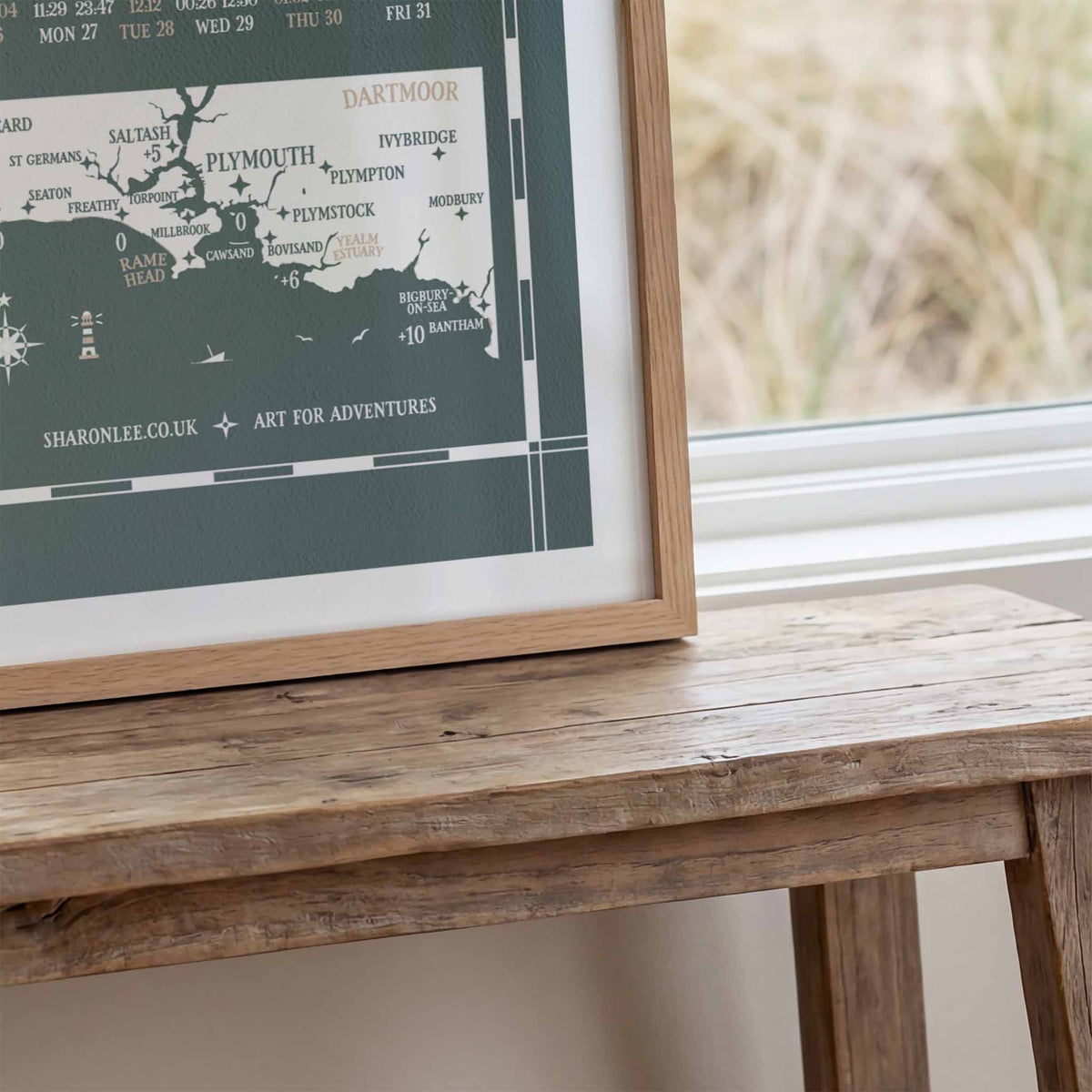
Unique tide times hydrographical charts for the Plymouth Sound coastline.
A full year of tide times and heights with a wealth of local tidal, moon and ocean information and in 2027 a guide to the selected seasonal phenomena for this stretch of coast. Life by the sea is shaped by the rhythms of sun, moon and tide, the more we read the sky, the better we know the water.
Available in classic Nautical Blue and new limited edition Grey-Green.
Which area does this chart cover?
This chart can be used from Looe in Cornwall to Bantham in Devon. Times and heights are based on Plymouth Devonport, times for most of the Plymouth Sound and Rame Peninsula coastline are virtually the same. Other times vary as below:
Lithograph Print on Munken Pure Rough Stucco paper 150 gsm. B2 standard framing size, 50cm wide x 70cm high. Fits perfectly into this vintage school style wooden poster hanger sold separately.